WeatherMesh-6 is officially live. Read the announcement or view the API documentation.
WeatherMesh-6 is officially live. Learn more here.
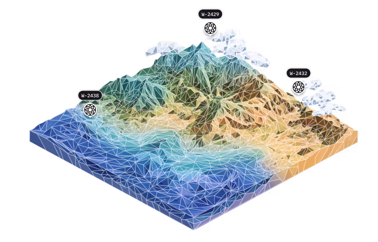
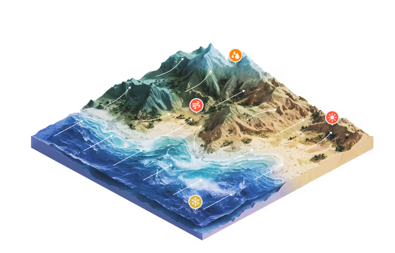
Atmospheric data is the biggest missing piece to improving modern forecasts. We fuse data from our long-duration balloons with state-of-the-art AI models to produce the most accurate weather forecasts.


WindBorne Systems is based in Redwood Shores, California. Our technology is invented, designed, and manufactured in the USA.


© 2026 by WindBorne Systems
For business and other inquiries, please use the form below.
For media inquiries, please contact press@windbornesystems.com.