Read the article
here.Earlier this month, Hurricane Milton took the lives of at least 14 people and caused an estimated $50 billion in damages when it ravaged the Gulf Coast.
The storm became one of the most powerful hurricanes on record in the Atlantic basin; it also became one of the fastest to intensify, with winds accelerating by 98 miles per hour (150 kilometers per hour) in a day, a rate the National Hurricane Center (NHC) called “explosive.”
Unfortunately, major forecasts weren’t able to predict this intensification. What went wrong? Forecasting models, both conventional and AI-based, acutely lack comprehensive, high-quality weather data, with the biggest gap continuing to be the atmosphere.
WindBorne was founded with the mission to solve this critical data gap. As part of a proprietary research & development effort, we navigated the latest iteration of several of our Global Sounding Balloon (GSB)-deployed dropsondes directly into Hurricane Milton. On October 10, one dropsonde collected temperature, pressure, humidity, wind speed, and wind direction data in Sebring, Florida, for example, while another gathered this critical real-time data over Cocoa Beach, Florida.

The balloons were launched from Mobile, Alabama and navigated to Milton in less than 24 hours.
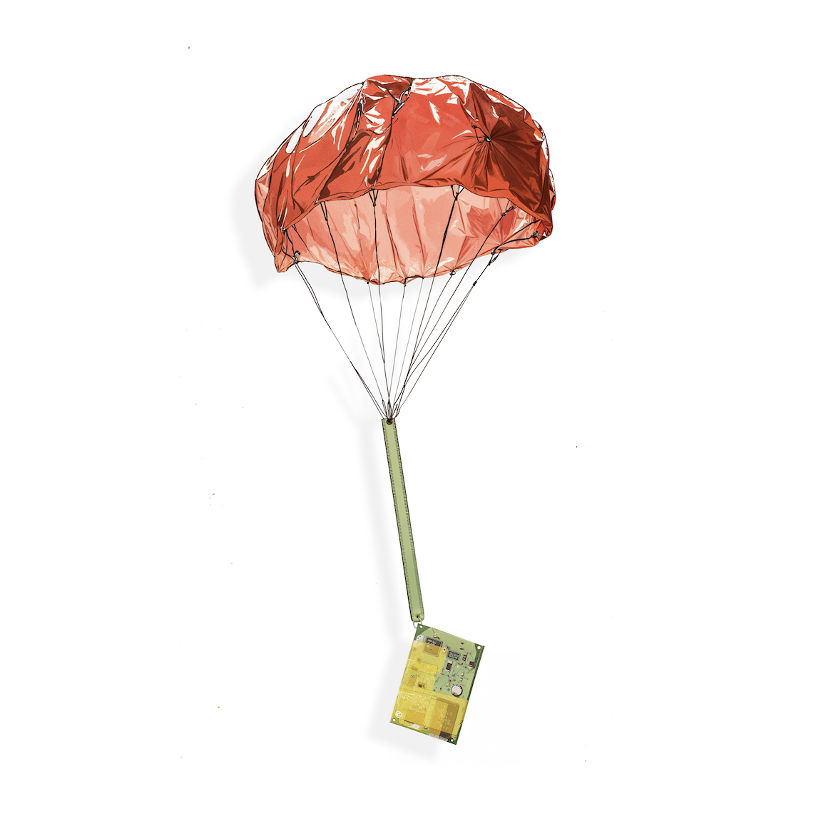
Typical dropsonde technology today requires flying a manned aircraft into extreme weather and manually deploying a dropsonde. This is much more dangerous, costly, and difficult to scale than WindBorne’s solution: an autonomous, long-duration atmospheric balloon that navigates to a precise location and remotely deploys a compact sensor pack with a miniature parachute and antenna.
Here are a few flight maps showing the paths of our dropsonde-carrying balloons.
The first image below shows balloon paths over a cloud cover forecast generated by our AI weather model, WeatherMesh. The second image shows balloon flight paths over WeatherMesh’s temperature viewer.


Both WindBorne dropsondes and our Global Sounding Balloon (GSB) carry custom-built sensors that can measure pressure, wind speed and direction, temperature, humidity, and other otherwise unobserved data. A significant portion of our dropsonde development is funded by the National Oceanic and Atmospheric Administration (NOAA)’s Weather Program Office (WPO).
Using Atmospheric Data & AI to Improve Extreme Weather Forecasts
WindBorne has been using our real-time atmospheric data collection, as well as our historic data set encompassing nearly 2,000 balloon launches, to improve our AI model WeatherMesh’s forecasting accuracy, including for extreme weather.
WeatherMesh performed well relative to other models when predicting Hurricane Milton. The chart below shows WeatherMesh’s average ground track error relative to the National Hurricane Center (NHC). (The lower the ground track error, the more accurate the forecast).

